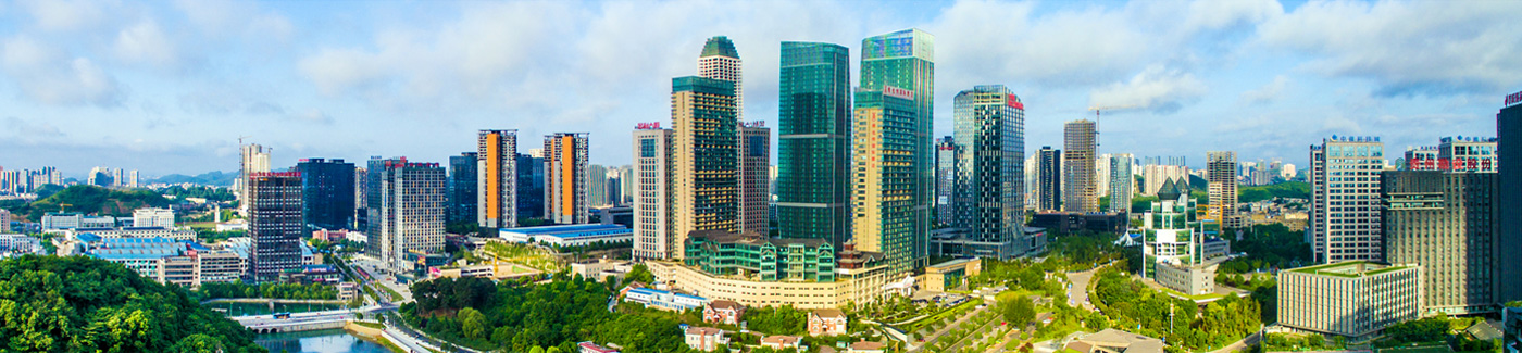
Guiyang approves master plan for Yunyan district through 2035
The Guiyang government has approved the Yunyan district land and spatial master plan (2021-35), setting clear targets for sustainable urban development over the next decade and beyond. By 2035, the district aims to maintain at least 5,600 mu (373.33 hectares) of arable land. Urban development boundaries will be limited to 58.03 square kilometers, while construction land intensity per unit of GDP is set to decrease by at least 40 percent. Total water consumption will also be capped according to higher-level regulations.
The plan identifies key natural disaster risk zones and establishes flood risk control lines, green space systems, water protection lines, historic preservation boundaries, and infrastructure control lines.
Yunyan district will optimize the spatial layout of development and conservation, improve service capabilities in the urban core, and strengthen functional connections with surrounding areas to advance new urbanization.
A modern infrastructure system will be built, including safe, convenient, and green low-carbon urban transport, integrated planning of water, energy, environment, communications, and safety systems, and improved disaster prevention and emergency response facilities, enhancing spatial resilience.
The plan also emphasizes raising the quality of urban spaces. It seeks to optimize the city's functional structure, prioritize industrial space for productive service industries, and strategically arrange public facilities related to education, healthcare, culture, sports, elderly care, and funeral services.
Links
Guiyang China
© The Guiyang Municipal People's Government. All Rights Reserved.
Presented by China Daily.
黔ICP备05001922号-3
Presented by China Daily.
黔ICP备05001922号-3